Mahé is the largest island (155 km²/59.8 sq. mi.) of the Seychelles, lying in the north east of the nation. The population of Mahé is 80,000. It contains the capital city of Victoria and accommodates 90% of the country’s total population. The island was named after Bertrand-François Mahé de La Bourdonnais, a French governor of Mauritius.
Mahé’s tallest peak is Morne Seychellois at 905 m, which lies in the Morne Seychellois National Park. The northern and eastern parts of the island are home to much of the population and the Seychelles International Airport which opened in 1971. The southern and western parts have Baie Ternay Marine National Park and Port Launay Marine National Park. The Ste Anne Marine National Park lies offshore, as do Conception Island, Thérèse Island, Anonyme Island and Silhouette Island.
Mahé was first visited by the British in 1609 and not visited by Europeans again until Lazare Picault’s expedition of 1742. Mahé remained a French possession until 1812 when it became a British colony. It remained a colony until 1976 when Seychelles became an independent nation.
 Mahé’s forests have rare endemic plants found only in the Seychelles, such as the critically endangered Medusagyne oppositifolia (the “Jellyfish tree”), the carnivorous Seychelles Pitcher plant and many species of unique orchids.
Mahé is currently undergoing a huge land reclamation project due to housing problems.
We were told that if you had $400,000…you could buy 1.5 acres of land and build a 3 bedroom, one bathroom house and after two years of residency you would be a citizen of the Seychelles.
We were told that there is a two (2) percent unemployment problem and that those 2% could work if they really wanted to. (Who wants to ?) The termperature is 87 F, the same as the water.
We had to attend to some personal business in the morning.
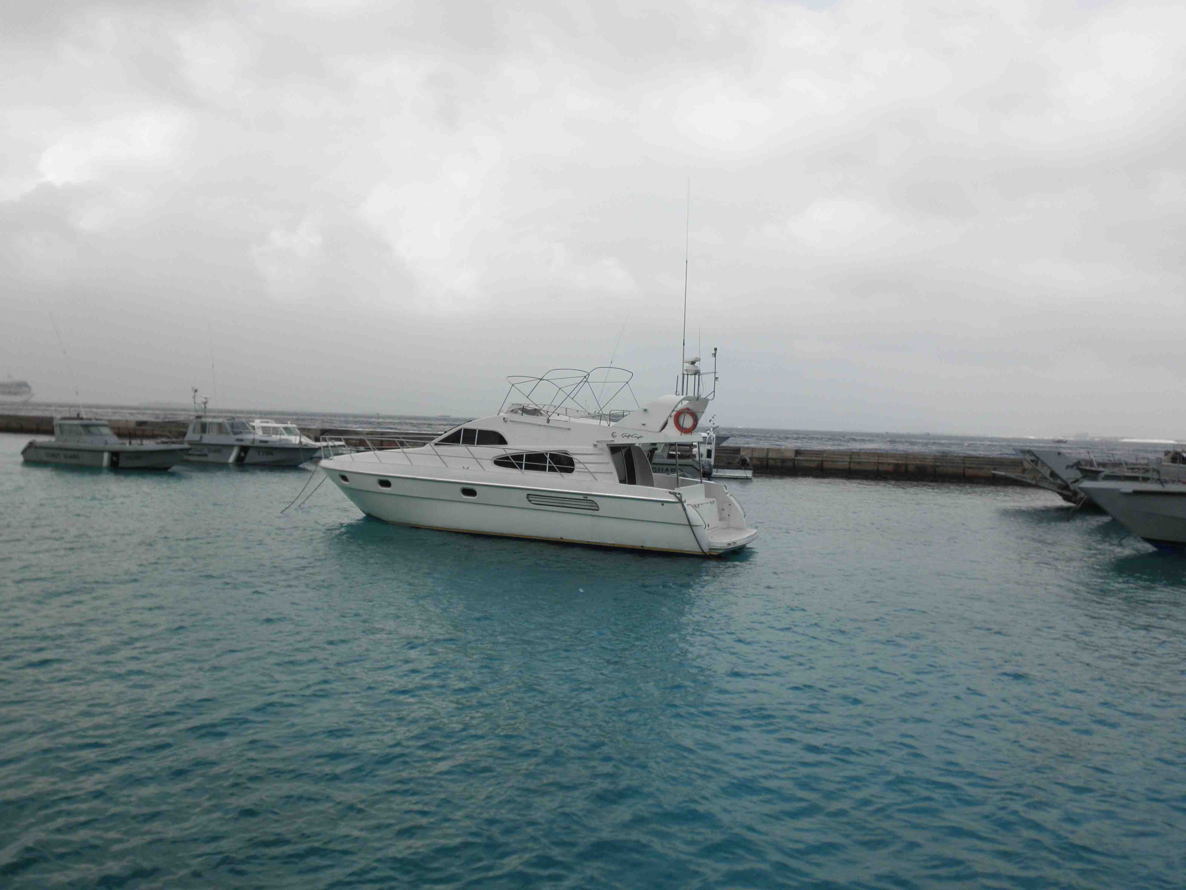
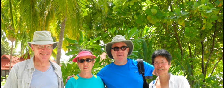
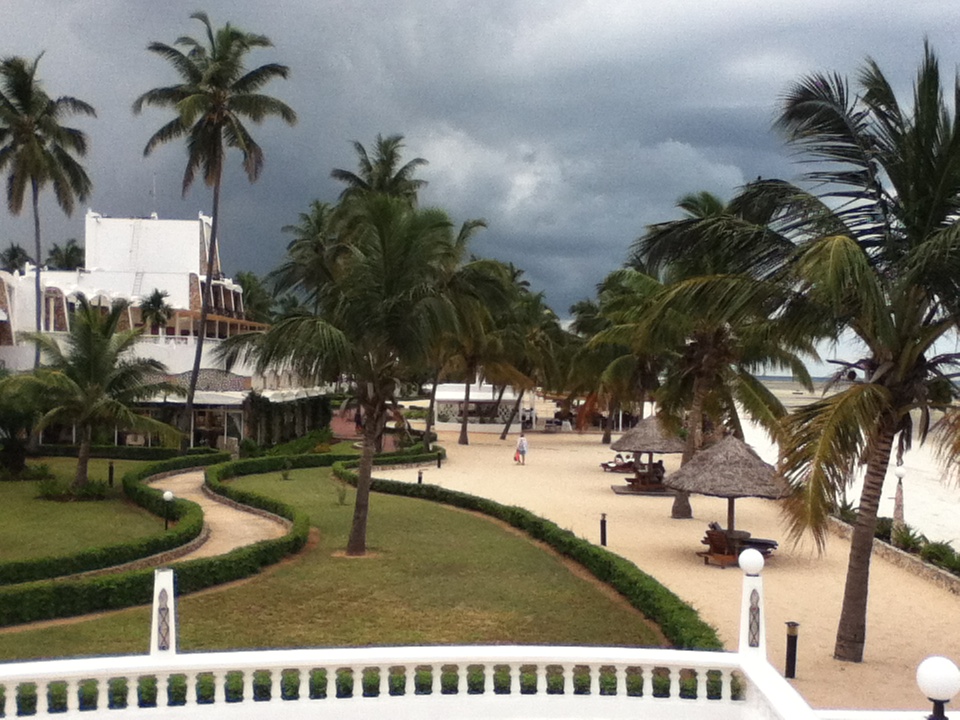
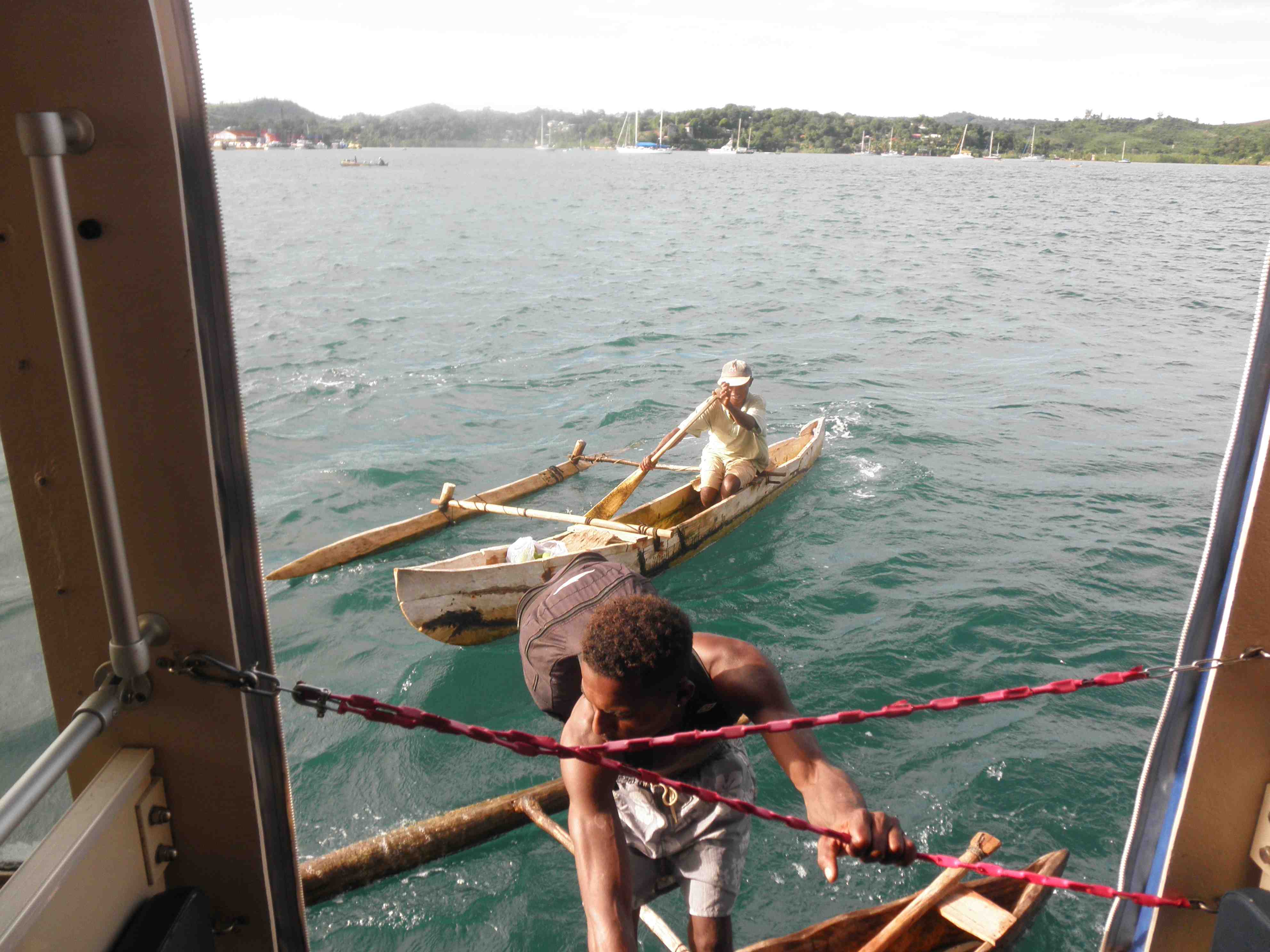
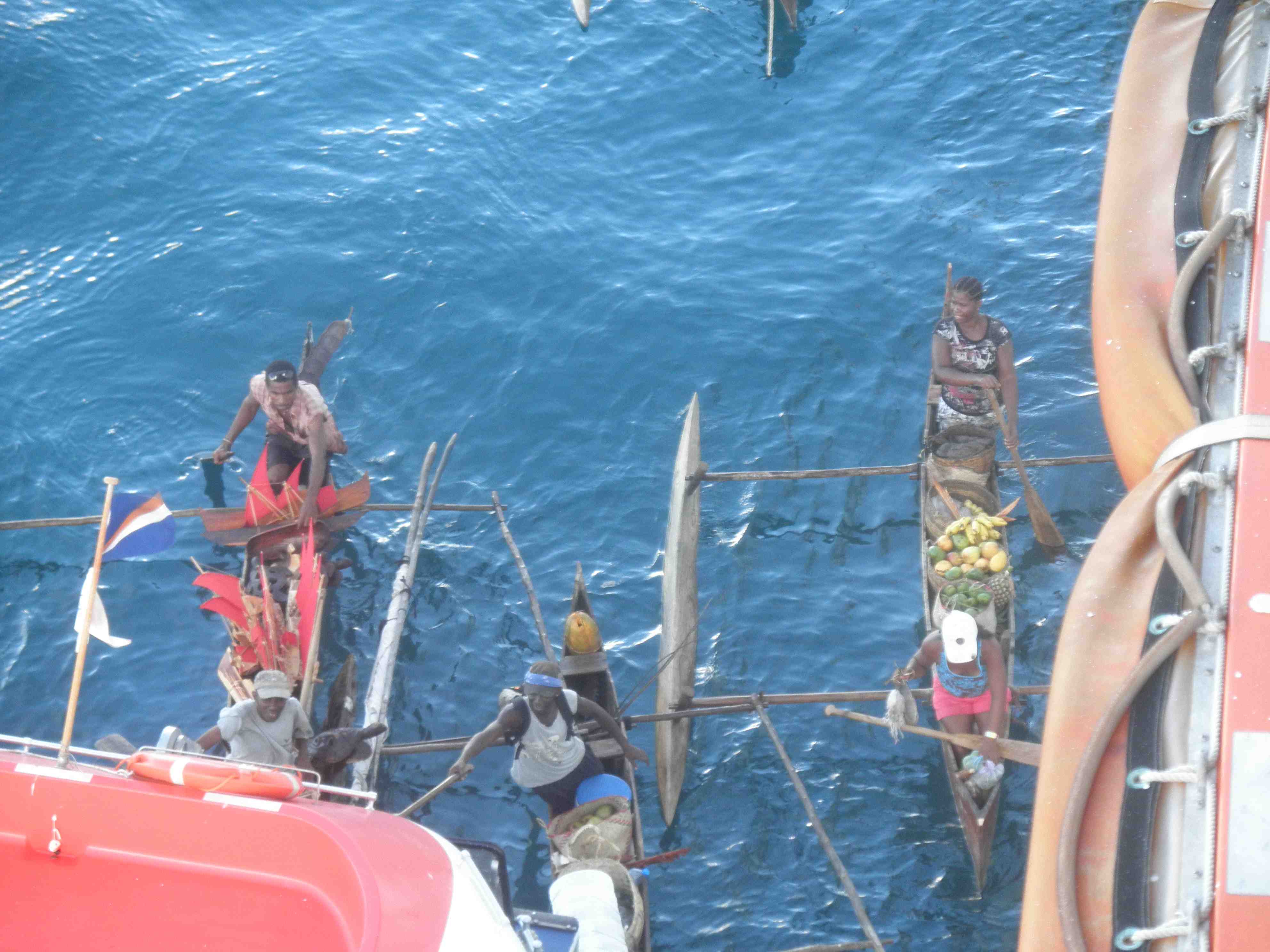
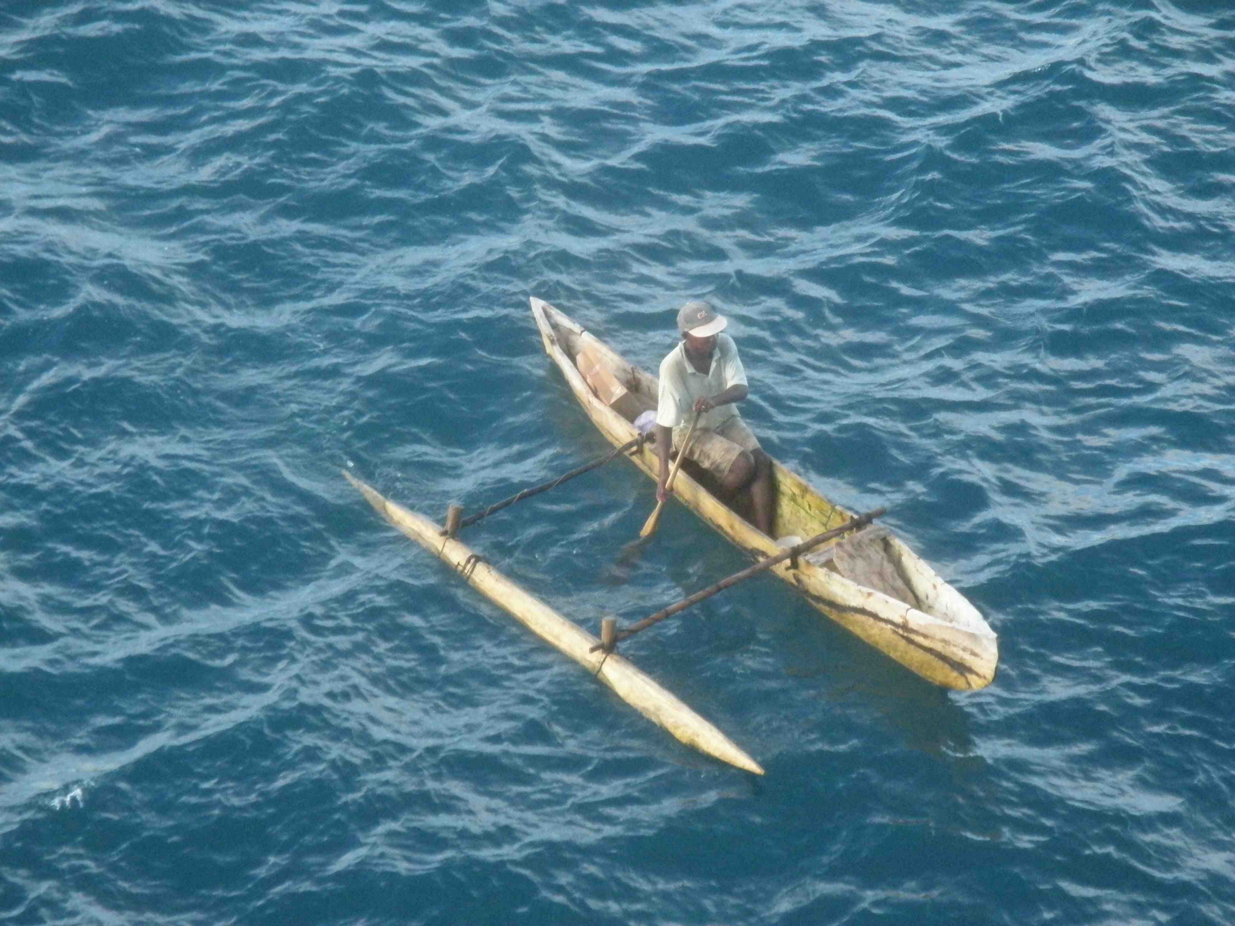
Just before noon, we joined a private excursion and went on a dive boat to Baie Ternay Marine National Park. We left from a protected man-made marina. As soon as we rounded a small jetty of land, we encountered thirty foot waves and pounded our way from Beau Vallon, past Bel Ombre, Danzil, Anse Major to finally arrive at the very secluded Baie Ternany Marine National Park. Along the way I was very impressed by the impressive homes that you could see hidden in the jungles of over-haning the ocean. Many had intricate staircases leading to bridges over rocks to seaside gazebos.
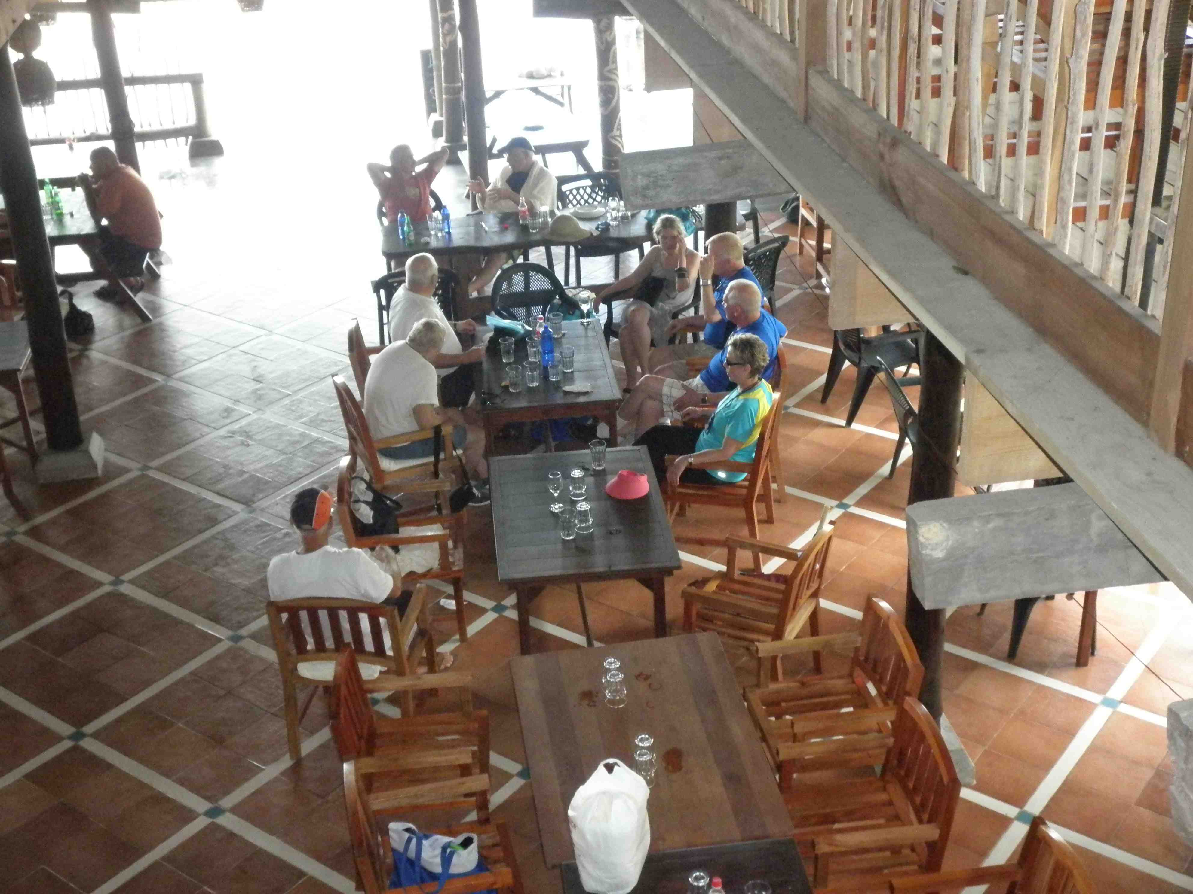
We had a late afternoon lunch at an OK….creole eatery..called The Boathouse…that was owned by the local guide.
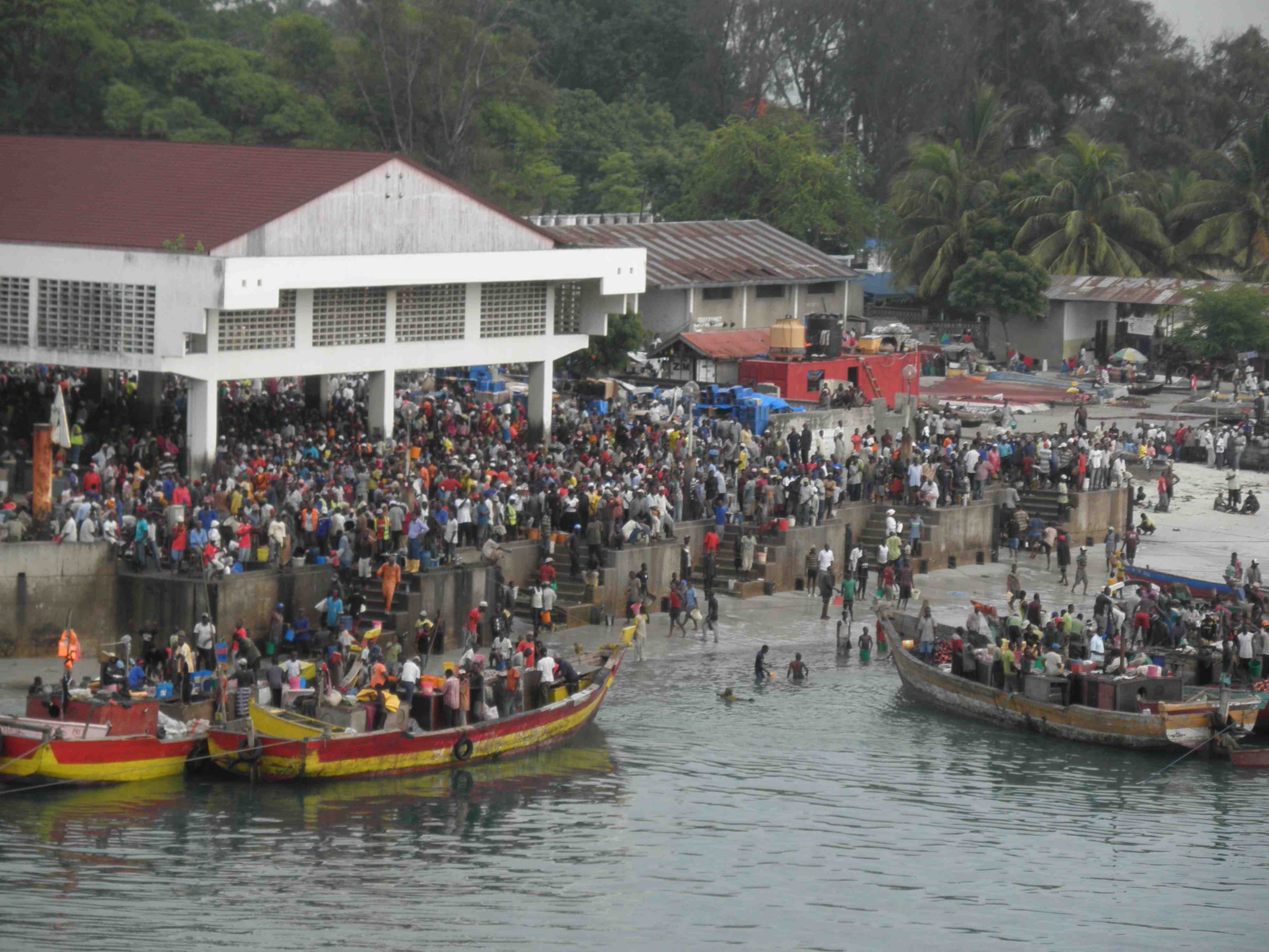
As we drove through the town of Victoria, the guide commented that you see a lot of middle-aged residents who are missing limbs. Apparently there had been a Russian-Doctor on the island, the only Doctor, whose response to a broken arm or leg was to amputate, with the explanation that they would develop gangrene.
She commented that this is not the place to seek medical attention.
On that point; here are a few anecdotes of interest:
1. A crew member took ill while we were in Maputo, Mozambique. Fellow crew members reported that the hospital conditions there were horrific. There were two patients in every bed and all the beds were single beds. They were traumatized having to leave their friend and colleague there. We wondered that if there is a political party that is desperately looking for efficiencies in the health care system in BC and want to emulate Maputo …..start running.
2. The guide’s husband needed to have a knee replacement and returned to England for the surgery. There they discovered that he had Ankylosing Spondylitis. He is a professional diver and photographer and unfortunately, they are presently making plans to return to England. While in England, he was resting after his knee surgery and a Dutch Doctor would drop by on weekends. Apparently the National Health Service in England provides Doctors, flown in from Holland, to cover weekend medical services needed in various communities throughout England.
3. One older gent, was stepping a bobbing tender onto the pier and his leg dropped between the tender and pier and he had 18 inches of flesh removed, down to the bone. He commented that the Doctor and nurses on Nauitica were excellent as a he grimaced in pain and swallowed his fifth martini.
4. One lady from Toronto that we had gotten to know, stepped off a rock while at a remote island ( seeing the lemurs) and shattered her ankle. It took her five hours to get back to the ship. The Doctor on Board casted her up and she and her husband flew at midnight from the Seychelles to Dubai to Toronto (30+ hours). She was going to need extensive surgery. Her husband, a retired Air Canada pilot, commented that this was the first time that they had ever taken out TRAVEL INSURANCE.
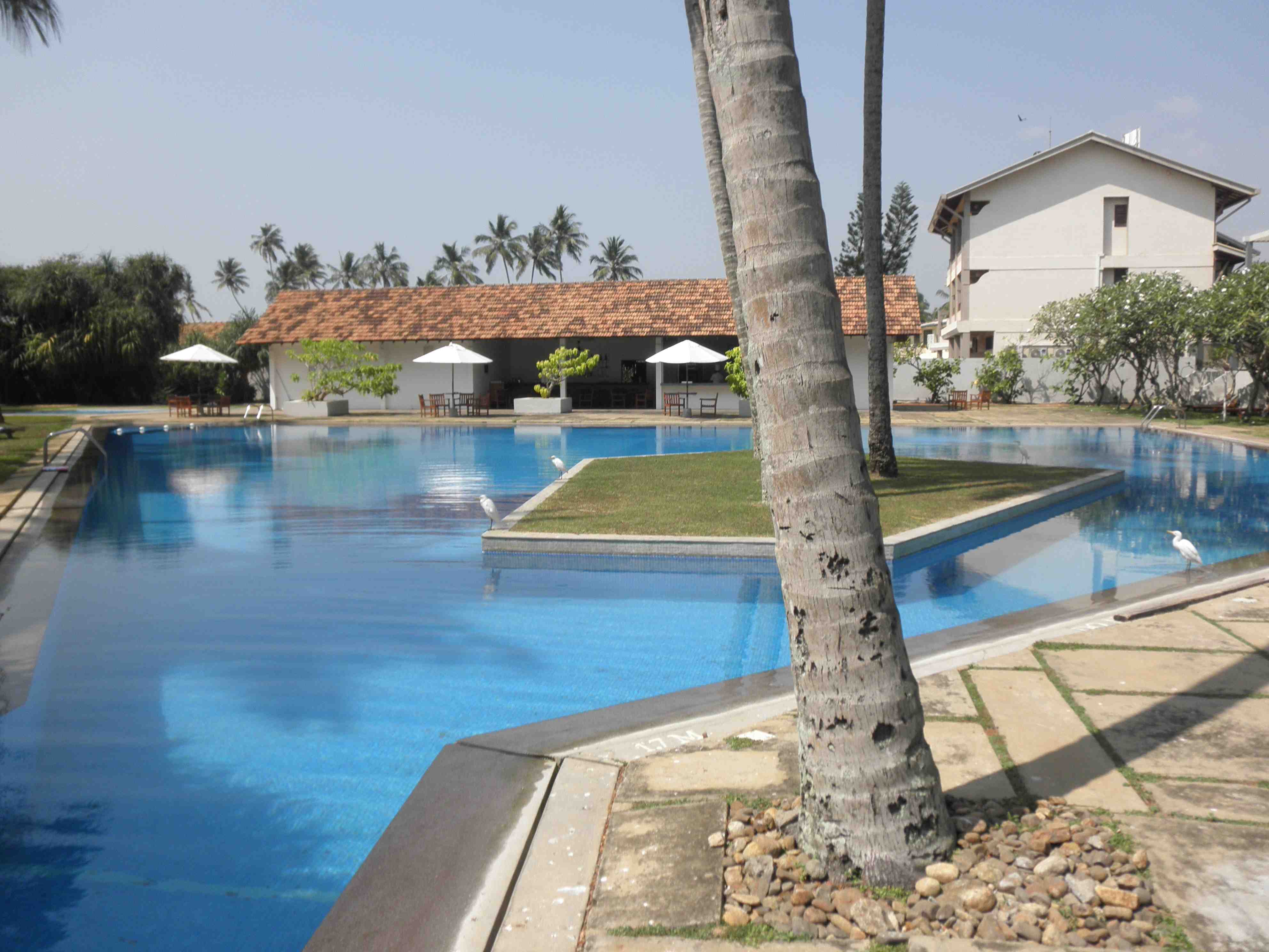
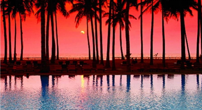
We are presently moored in Praslin Island. The waters are crystal clear and the island was once thought to be the Garden of Eden.
A few pics:

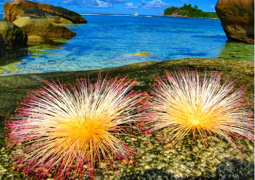
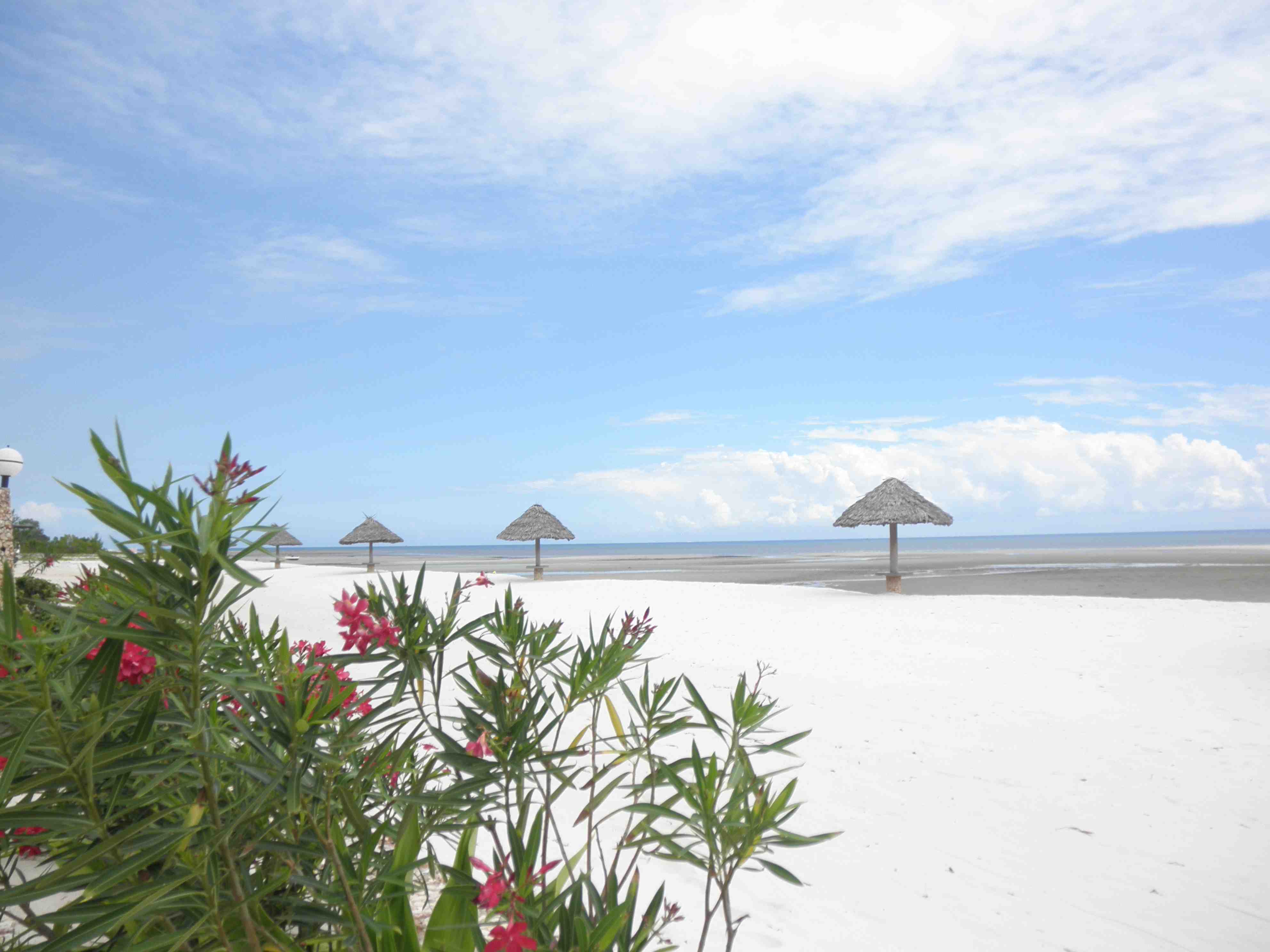
Seaside flowers in Baie Ternay Marine Park
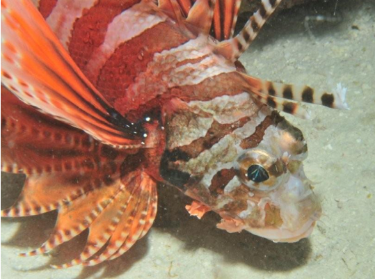
Baie Ternay Marine Park Seychelles

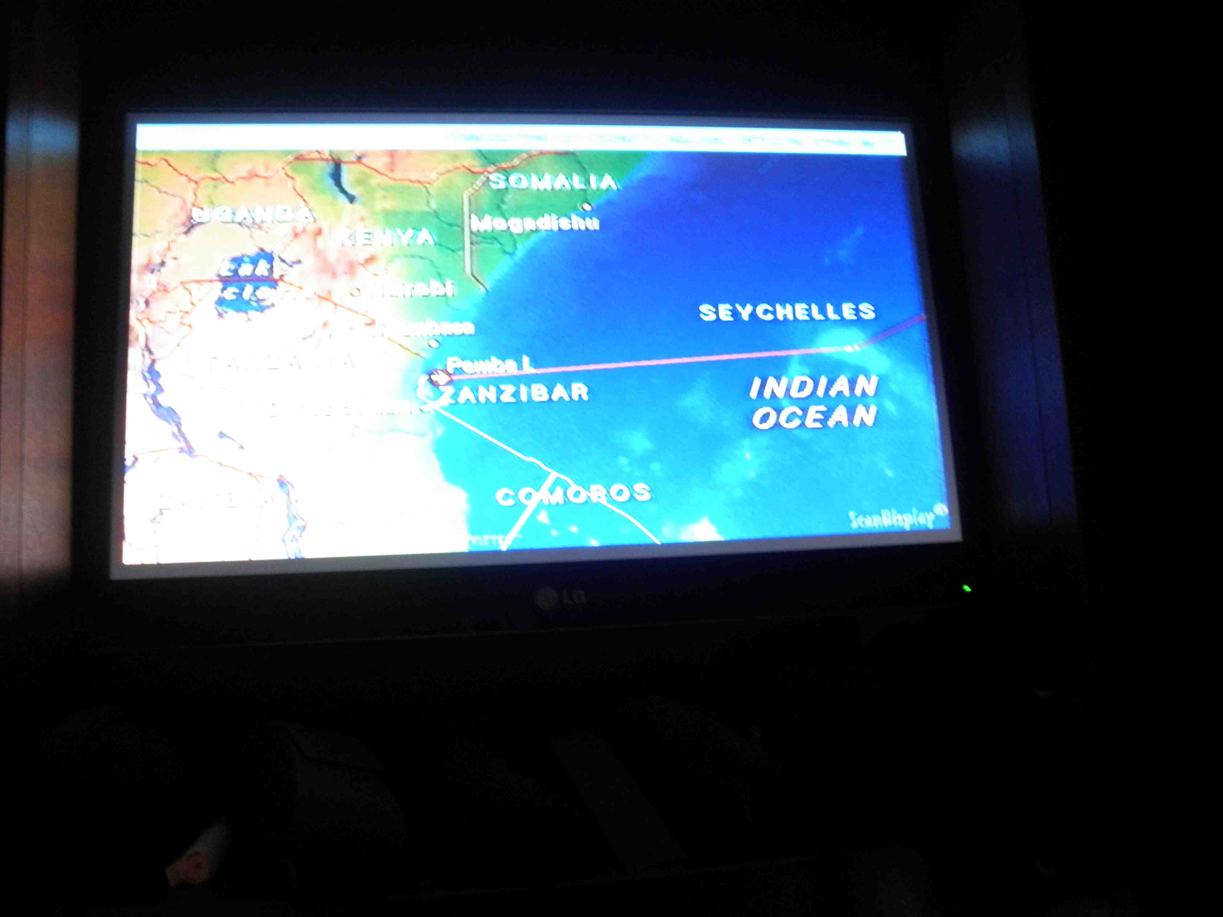
Map on TV showing us making a hard right towards the Seychelles

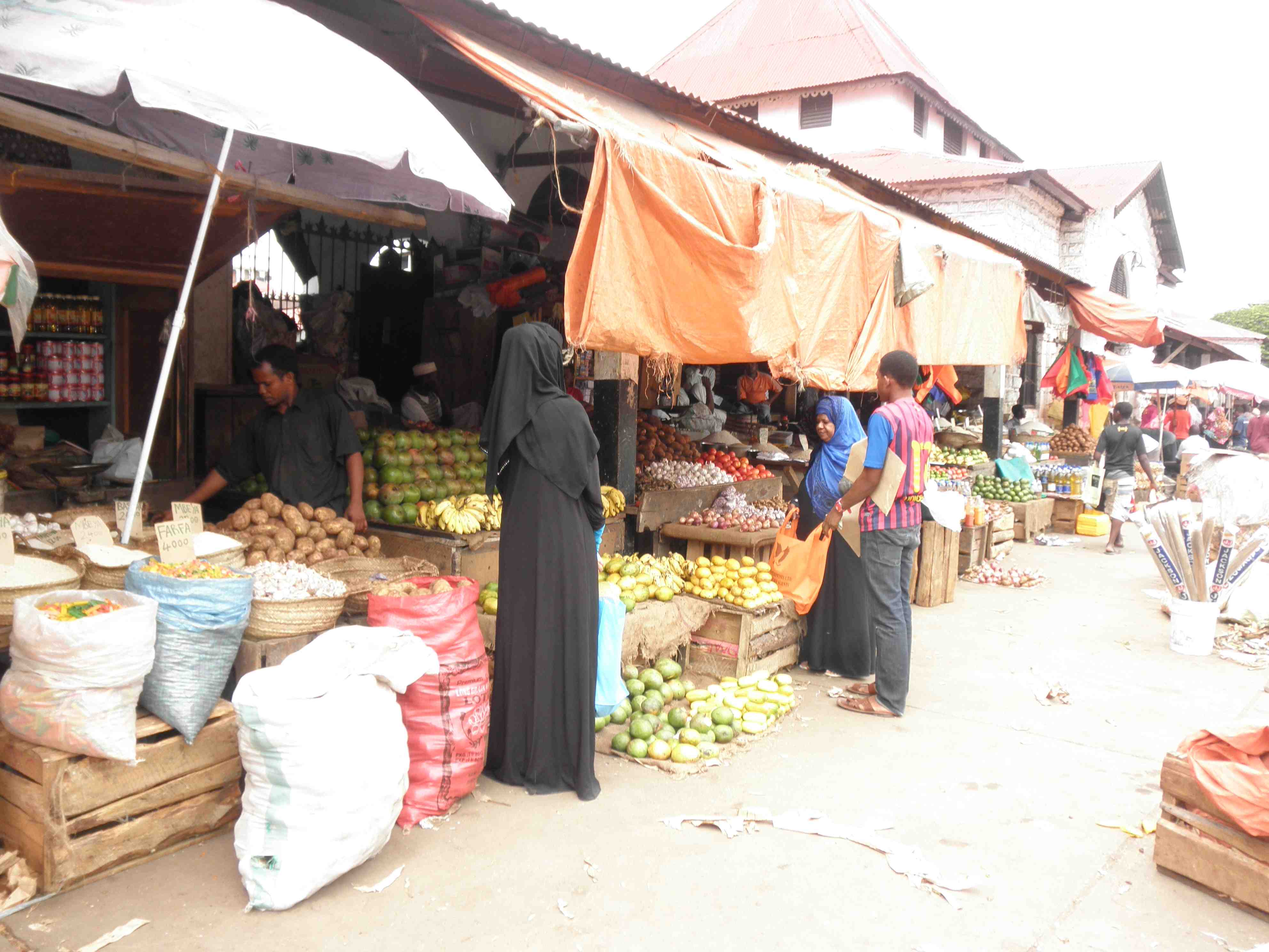
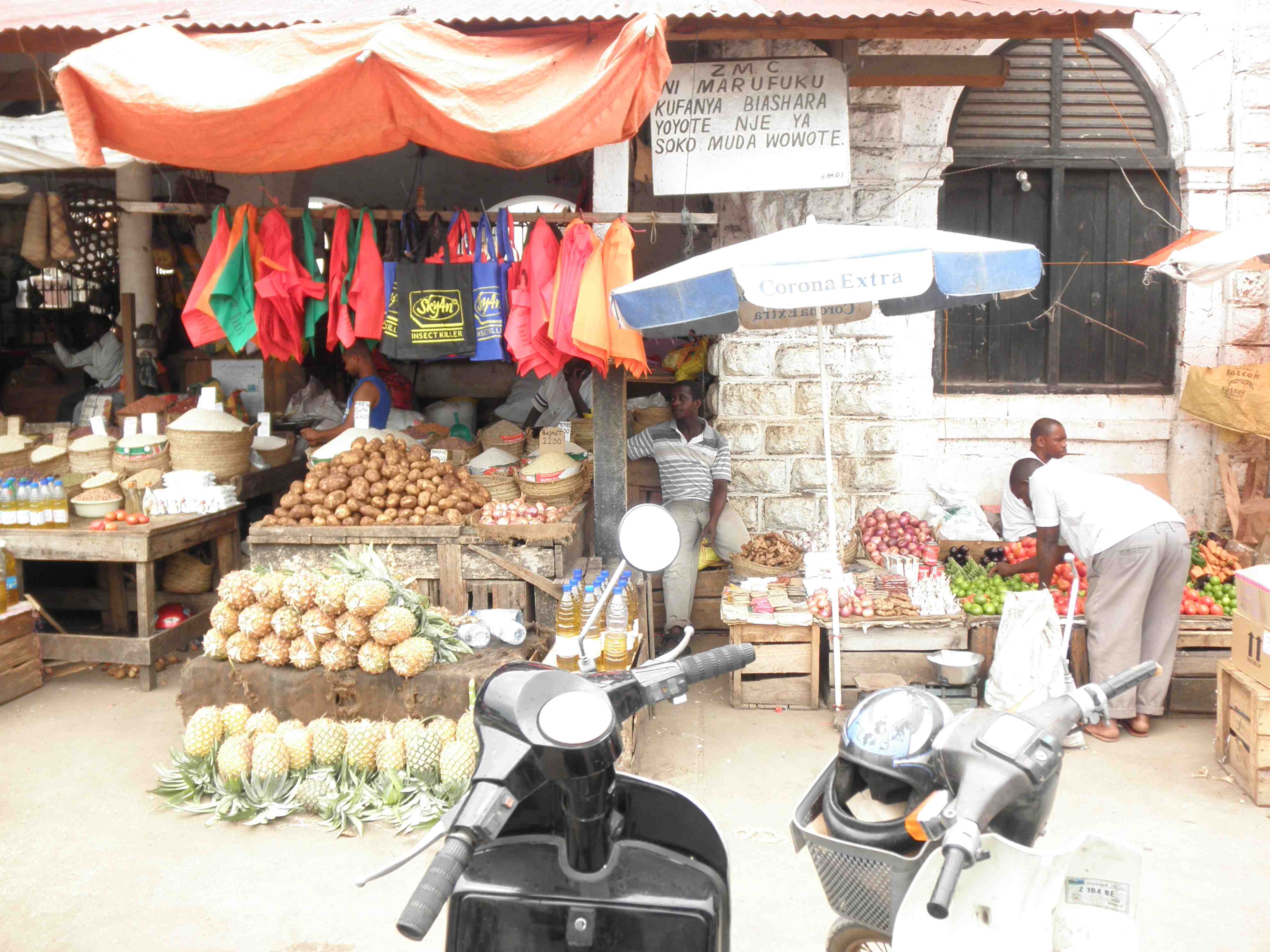
Small roadside market near Bel Ombre Seychelles

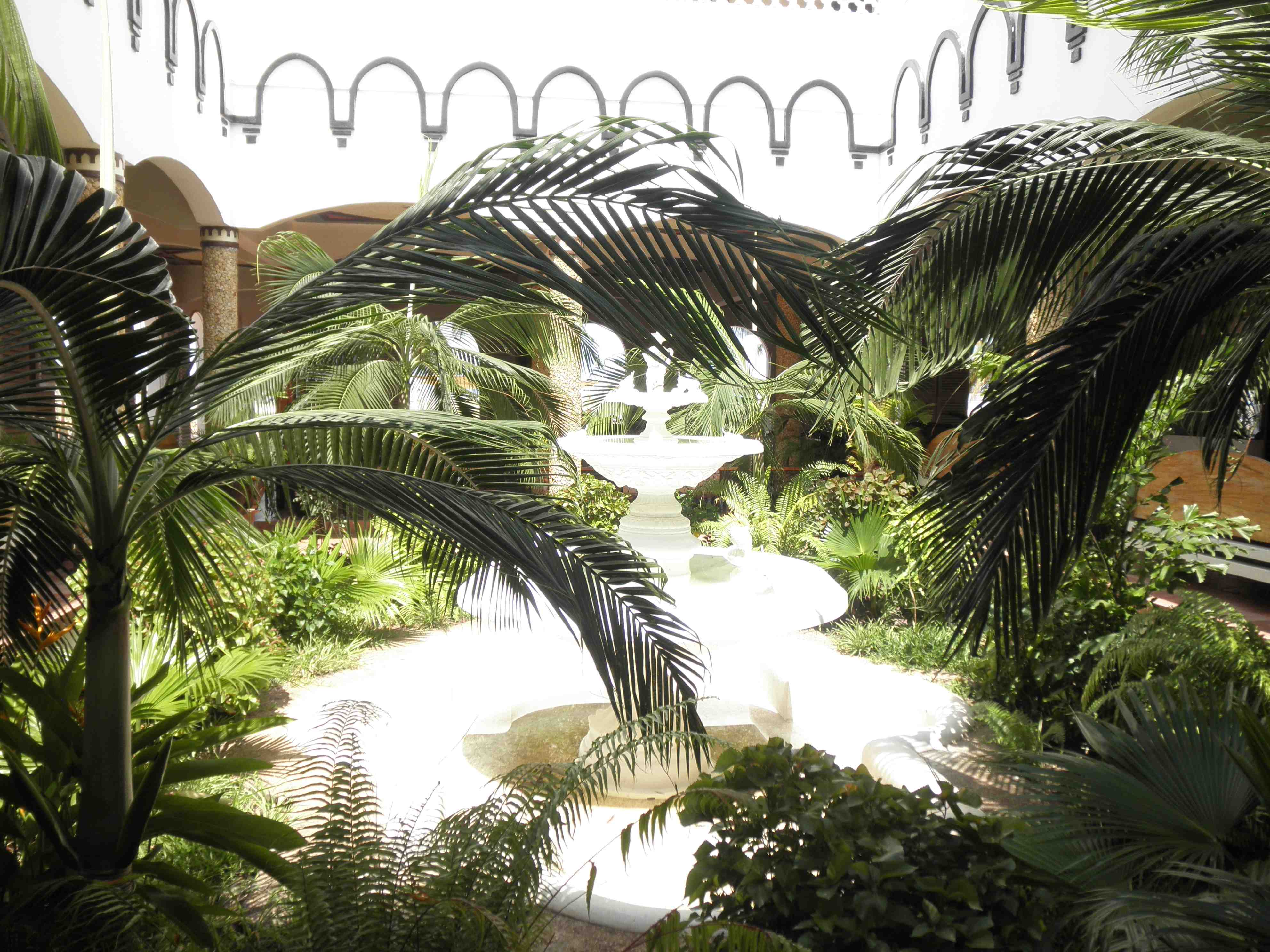
Inside a Creole Restaurant

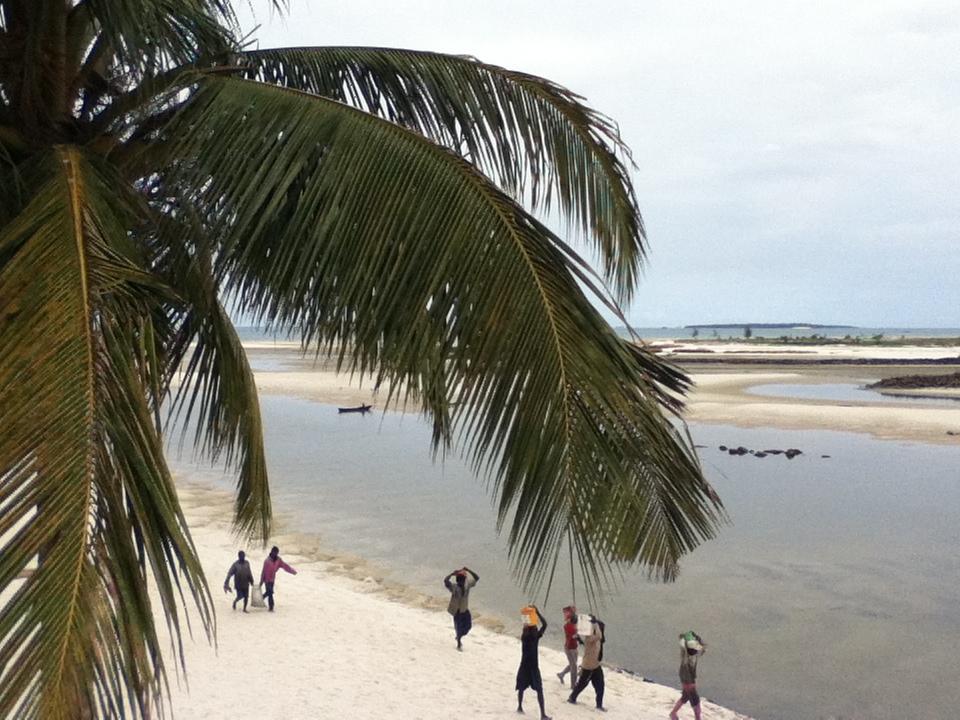
Bea Vallon Bay, Mahe, Seychelles

Seychelles are made of Granite Rock
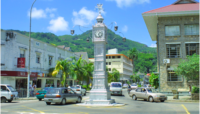
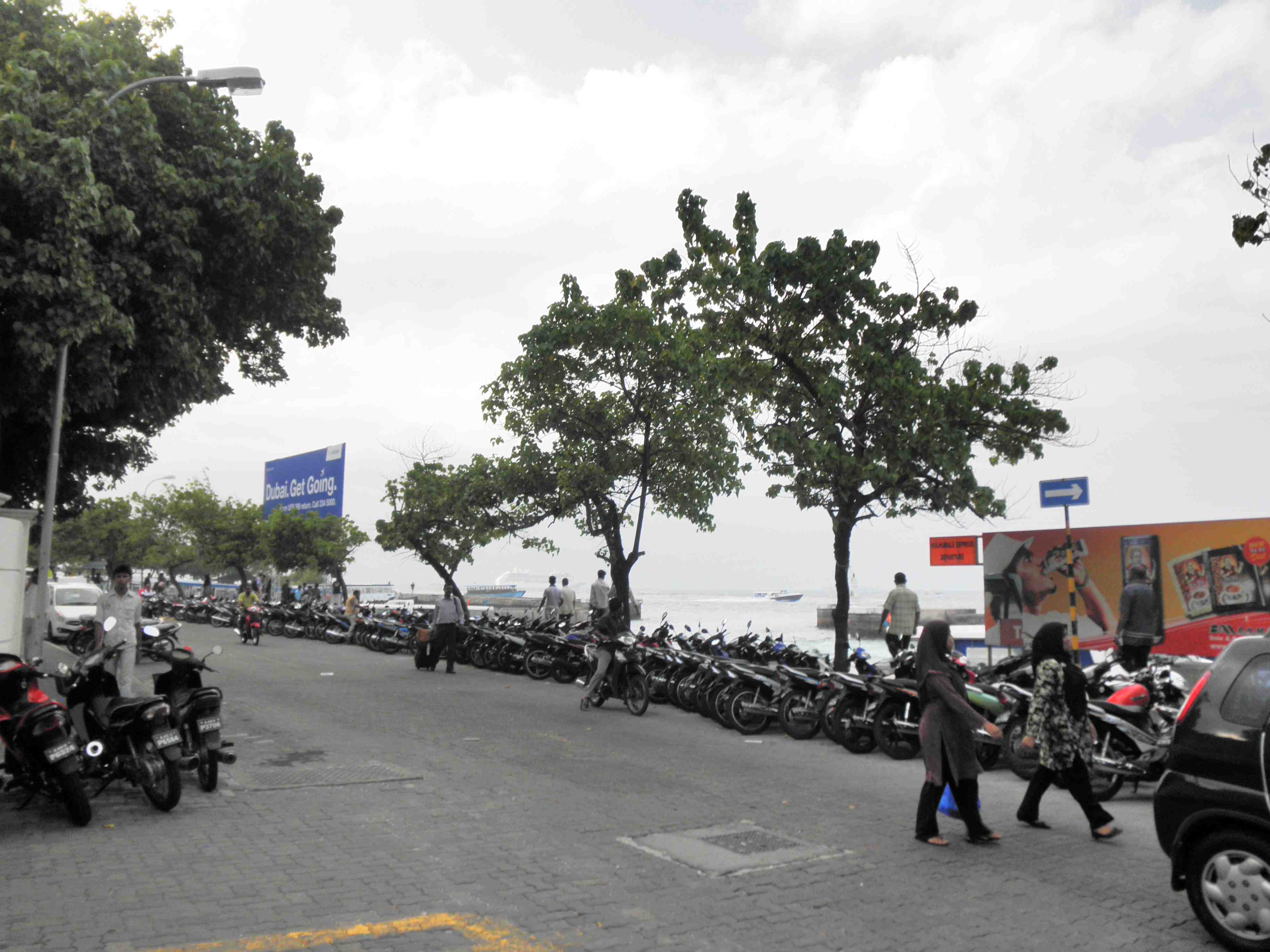
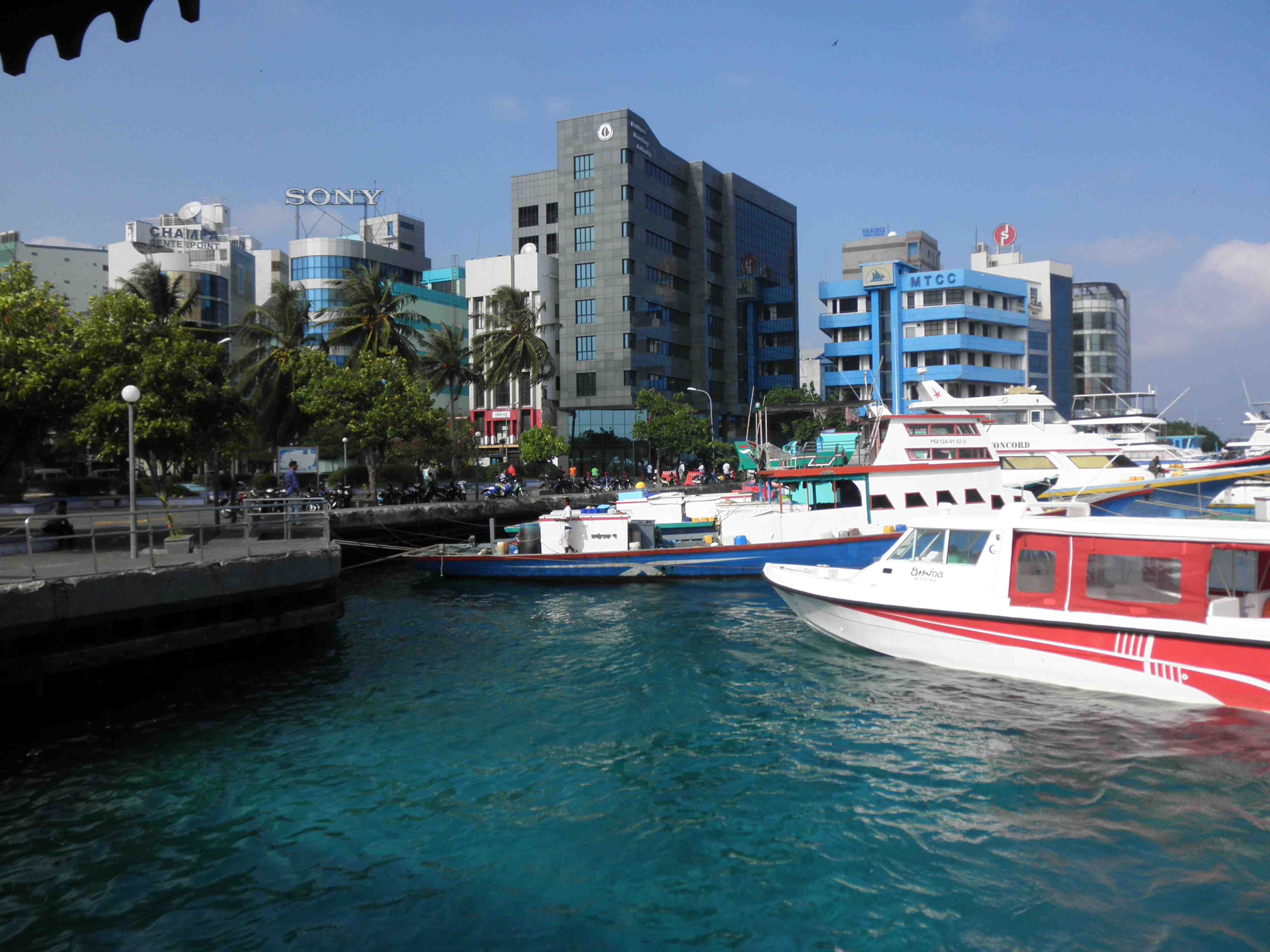
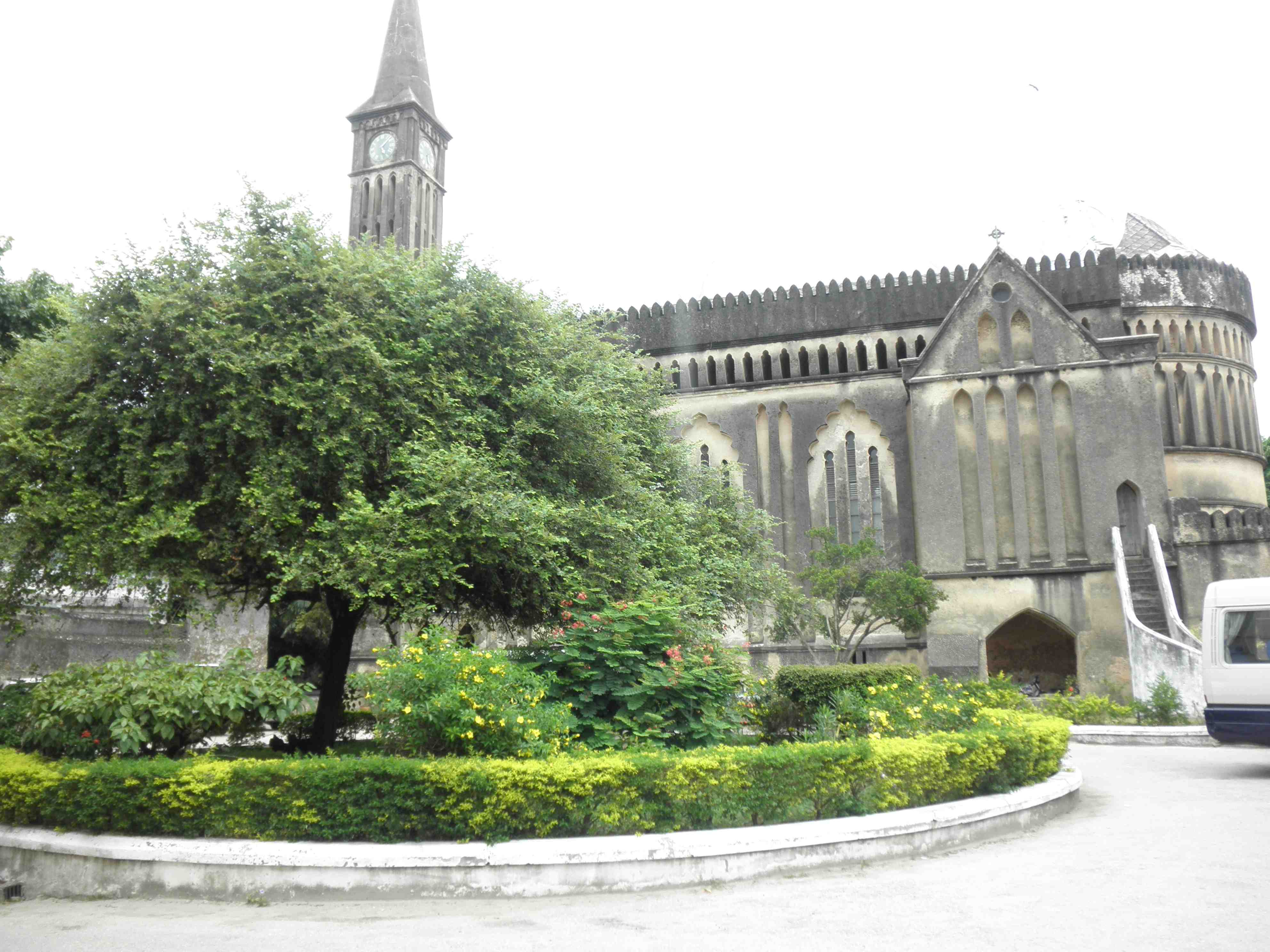
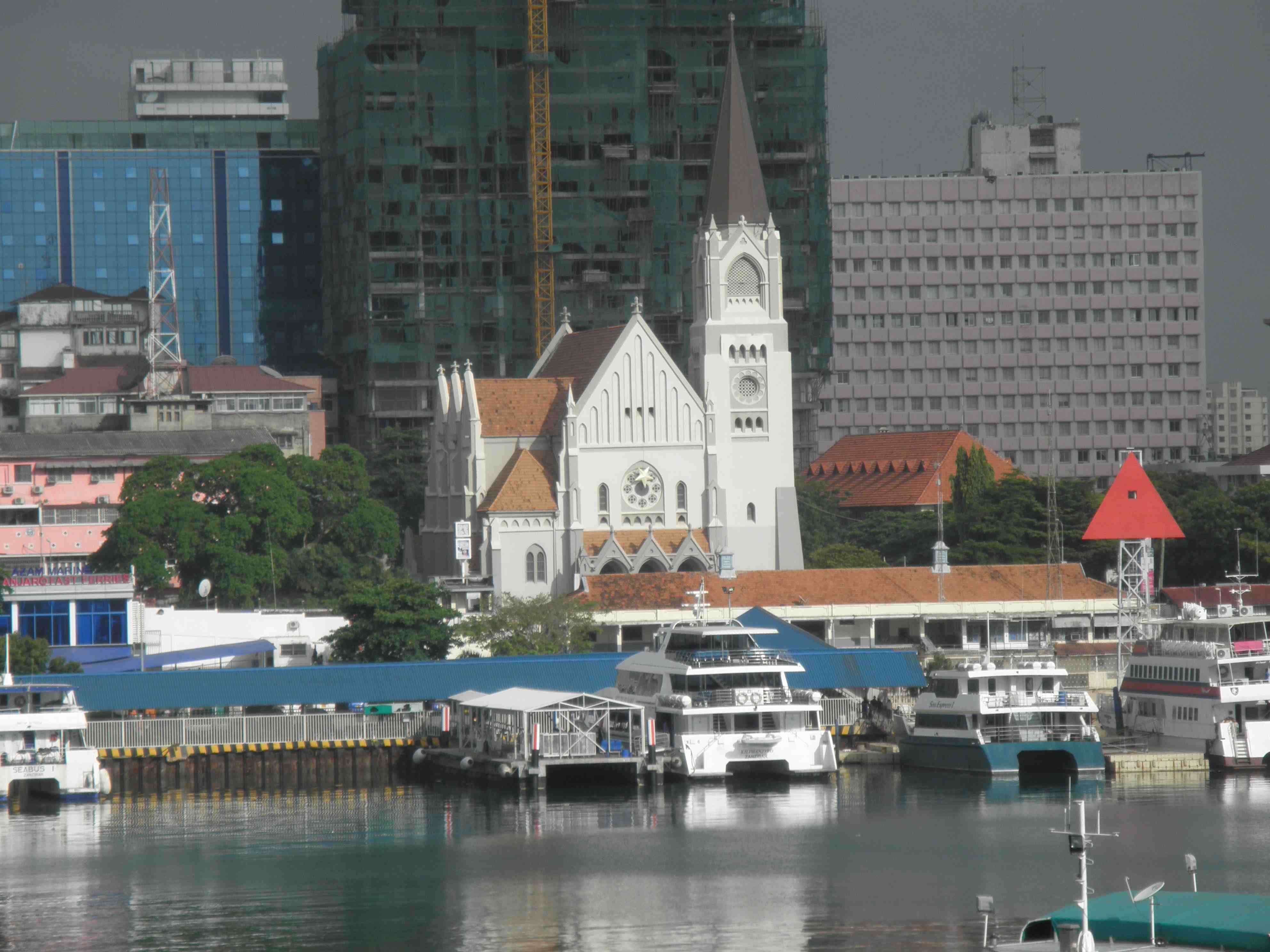
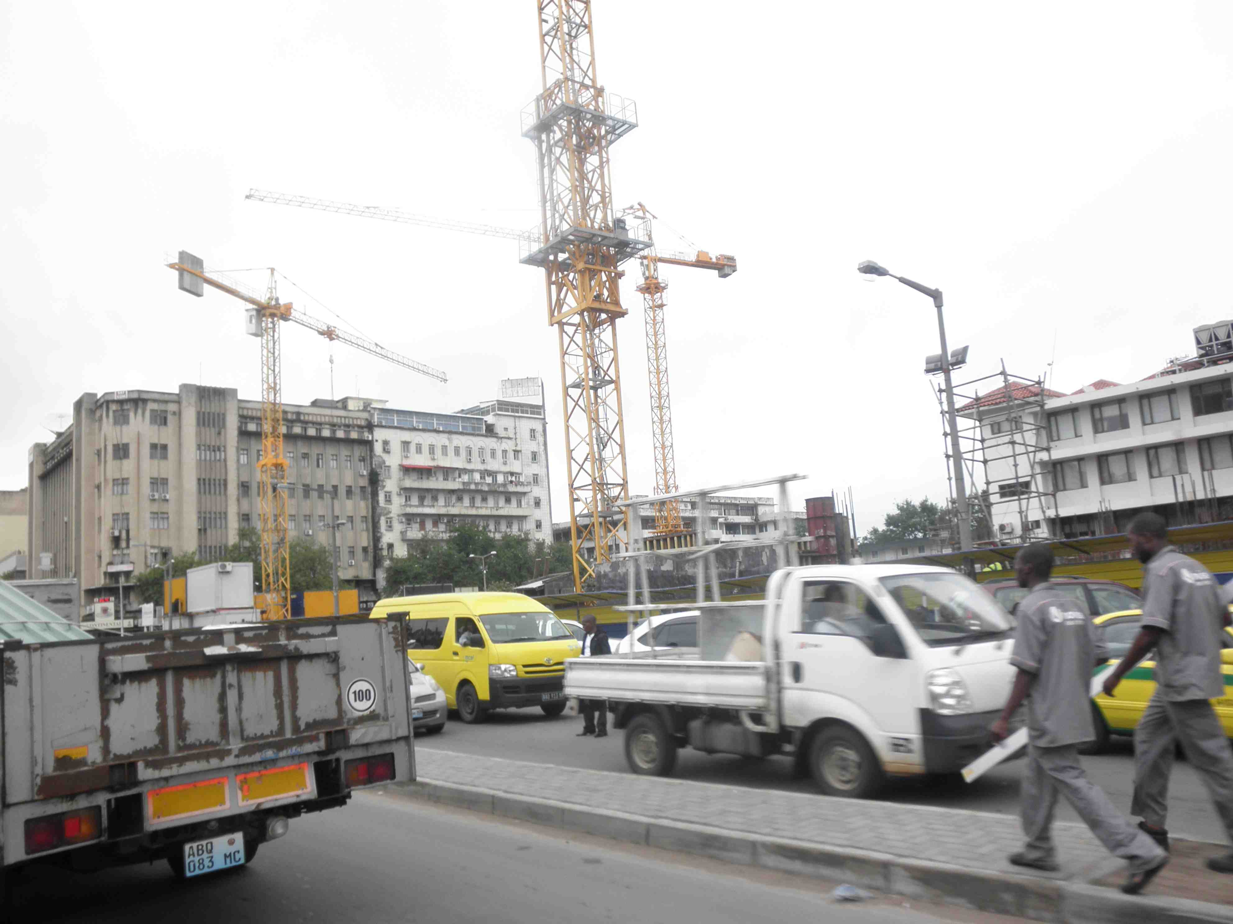
Victoria-Seychelles.Very clean City with a definite French influence.
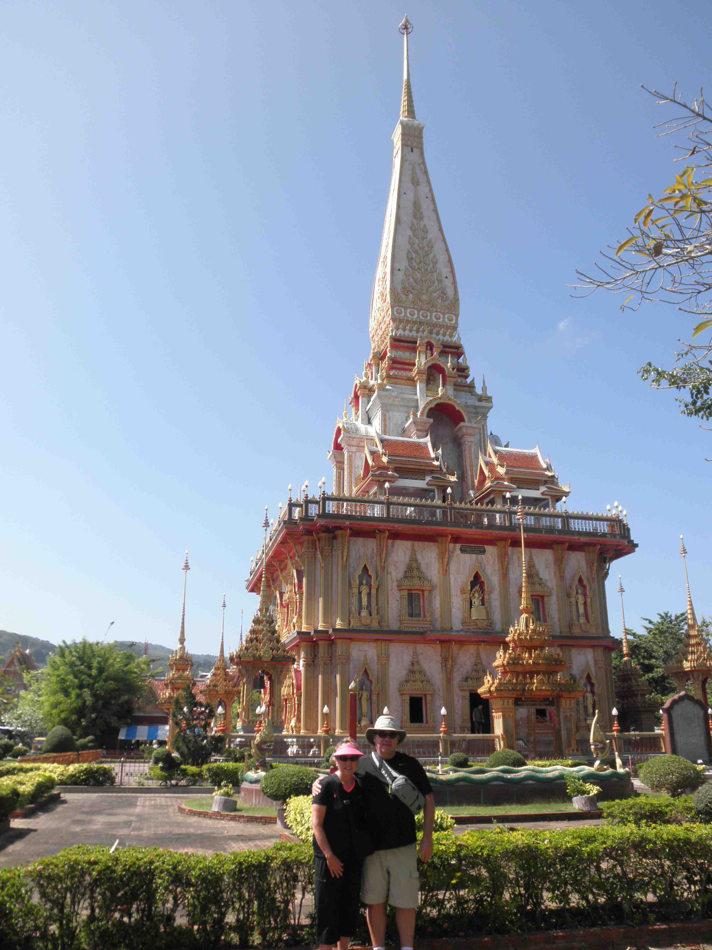
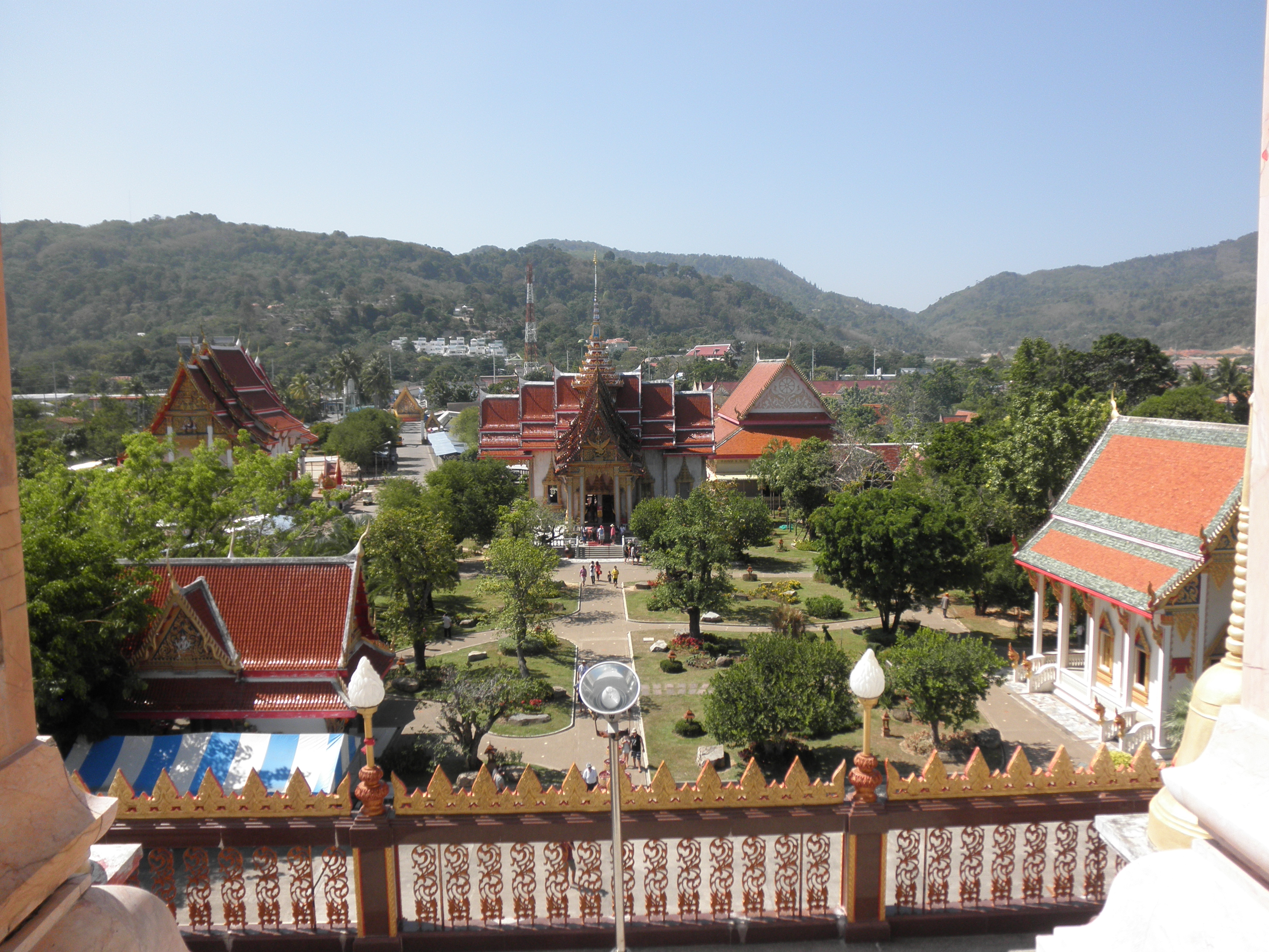
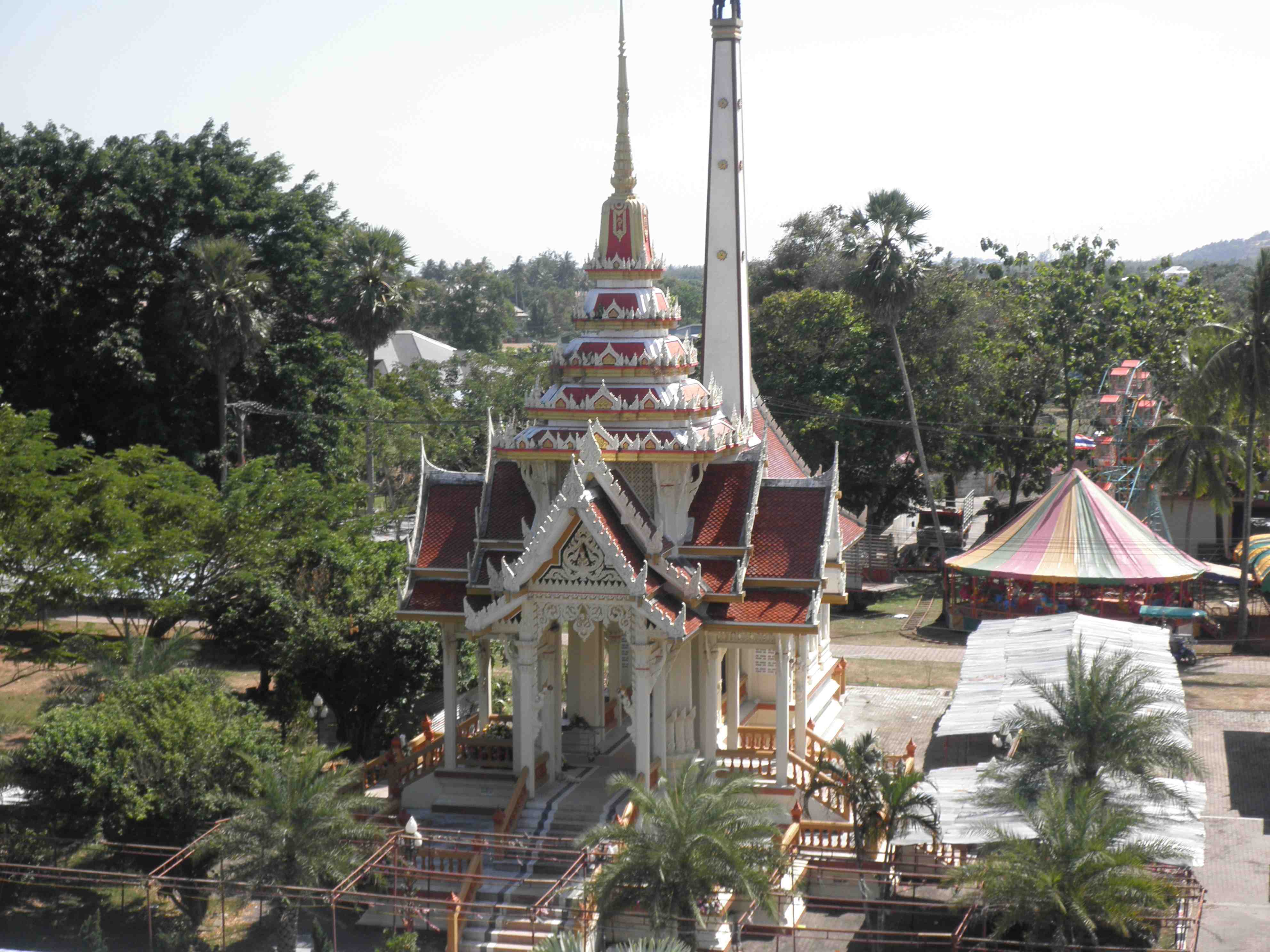
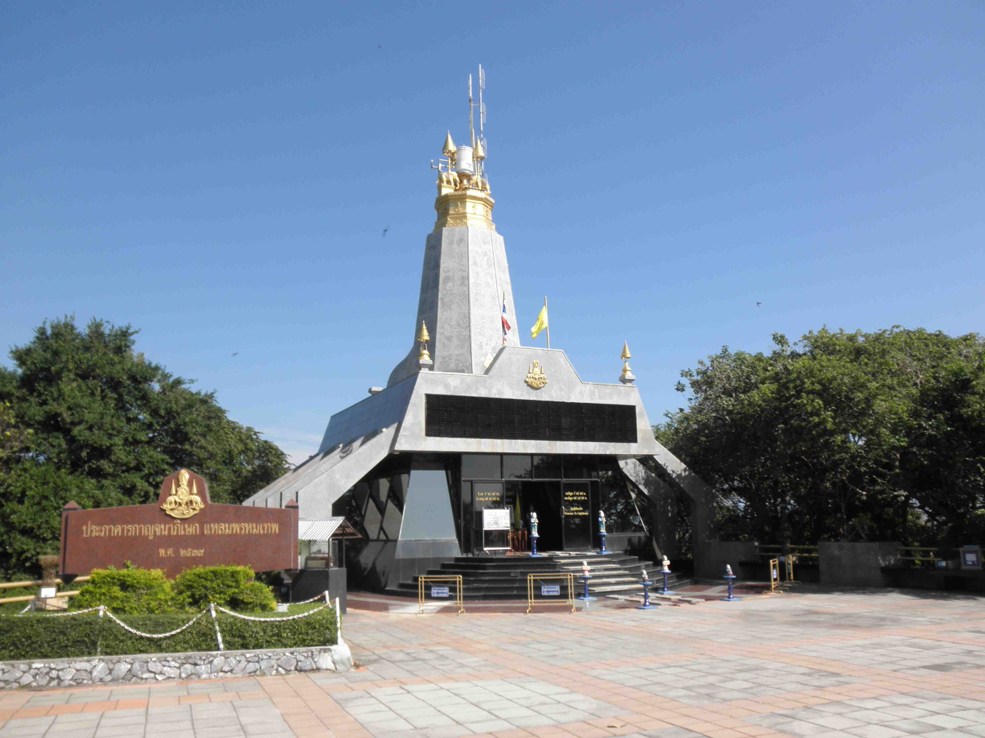
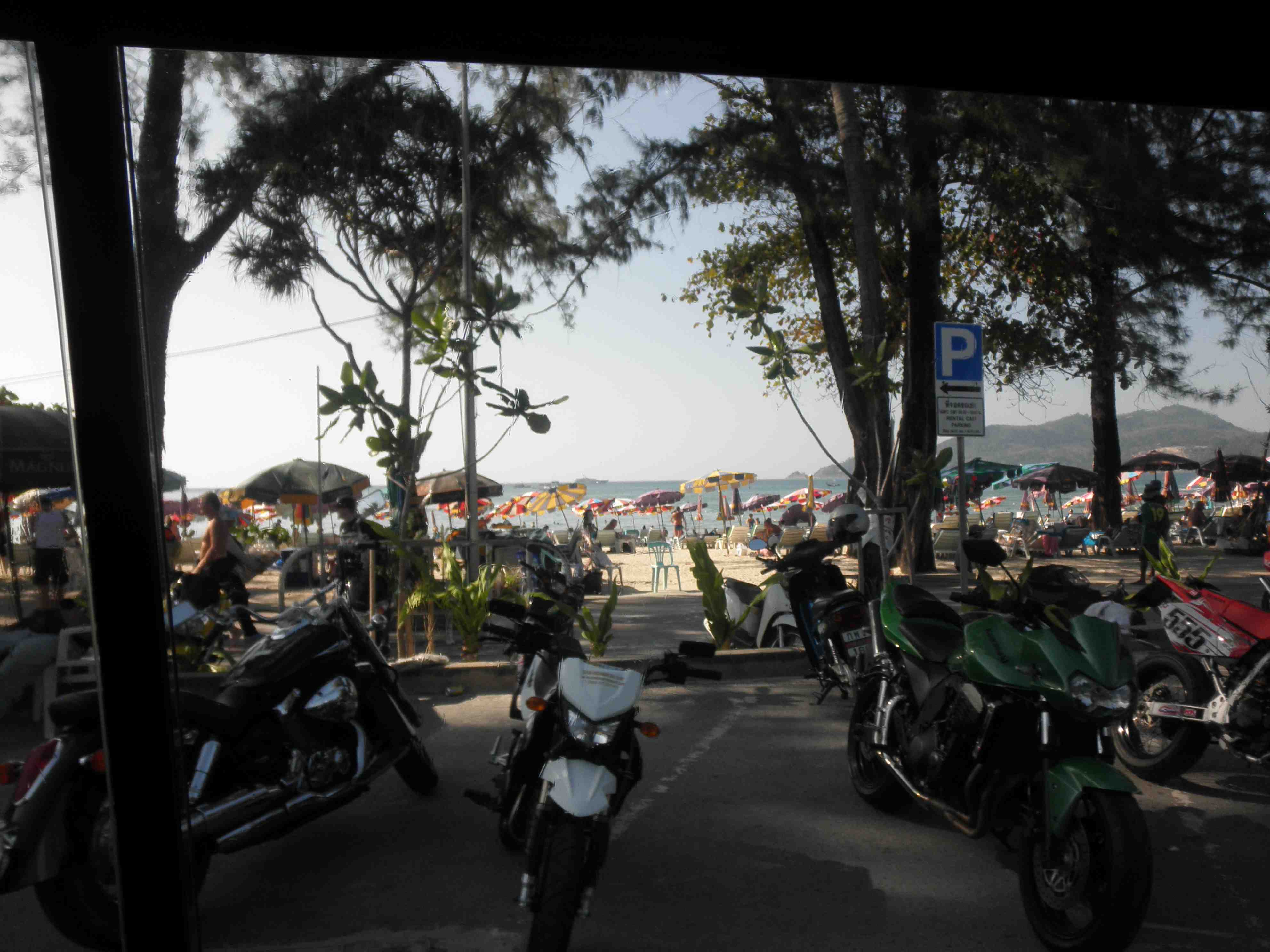
 It is 48 km in length, 21 km at its widest, and is in Southern Thailand, on the west-facing Andaman Sea coastline, suspended from the southern tip of Phang Nga Province by a pair of short but substantial road bridges.